The Rise of Drone Surveying
Traditional land surveying methods are time-consuming, expensive, and often limited by terrain accessibility. UAV (Unmanned Aerial Vehicle) technology is changing this paradigm entirely.
Our team at SDI has conducted over 200 drone surveying missions across Indonesia, covering diverse terrains from dense urban areas to remote agricultural lands. The results speak for themselves: faster data collection, higher accuracy, and significant cost savings.
How It Works
Fixed-Wing vs. Multirotor
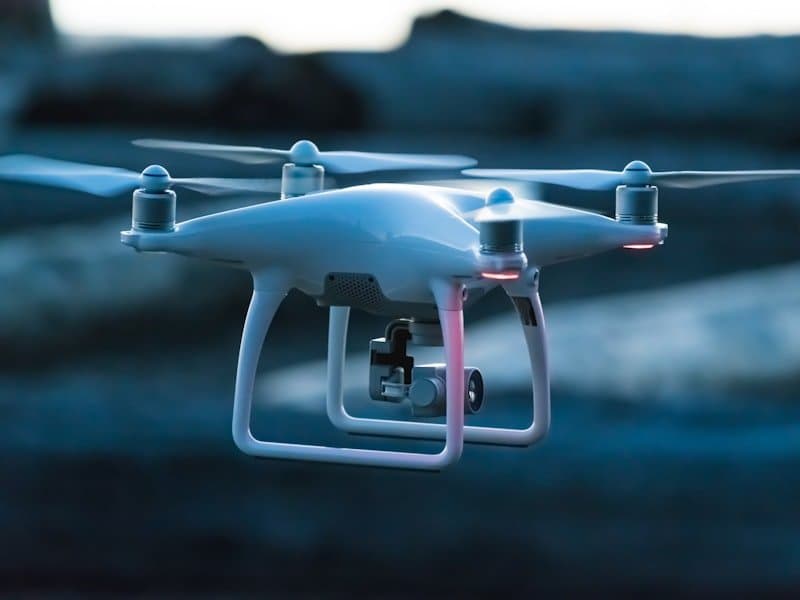
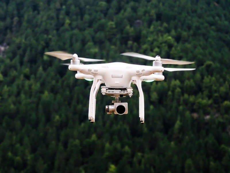
For large-area mapping projects, we deploy our SENJA fixed-wing UAV, which can cover up to 500 hectares in a single flight. For detailed inspections and smaller areas, multirotor drones provide the hovering capability needed for precise data capture.
Data Processing Pipeline
- Flight Planning — Define the survey area and flight parameters
- Data Acquisition — Capture high-resolution aerial imagery with GPS tagging
- Photogrammetric Processing — Generate orthomosaics, DSMs, and 3D point clouds
- Analysis & Deliverables — Produce actionable maps, contour lines, and volume calculations

Real-World Applications
Precision Agriculture
Drone-based crop monitoring enables farmers to identify issues like nutrient deficiency, pest infestations, and irrigation problems early — reducing crop loss and optimizing yields.
Infrastructure Planning
Before construction begins, accurate topographic data is essential. Drone surveys provide the detailed terrain models needed for road planning, building site assessment, and environmental impact studies.
Mining & Quarrying
Regular volumetric surveys help mining operations track stockpile volumes, monitor pit progress, and ensure compliance with environmental regulations.